Just spotted that Google Maps are showing a new aerial photo of the site, at least for MacOS X using the Safari browser, accessing from the UK. The direct link is http://maps.google.co.uk/maps?q=52.870244,-1.415455&num=1&t=h&gl=uk&z=18 (though it might look different for different systems / browsers so reproduced below)
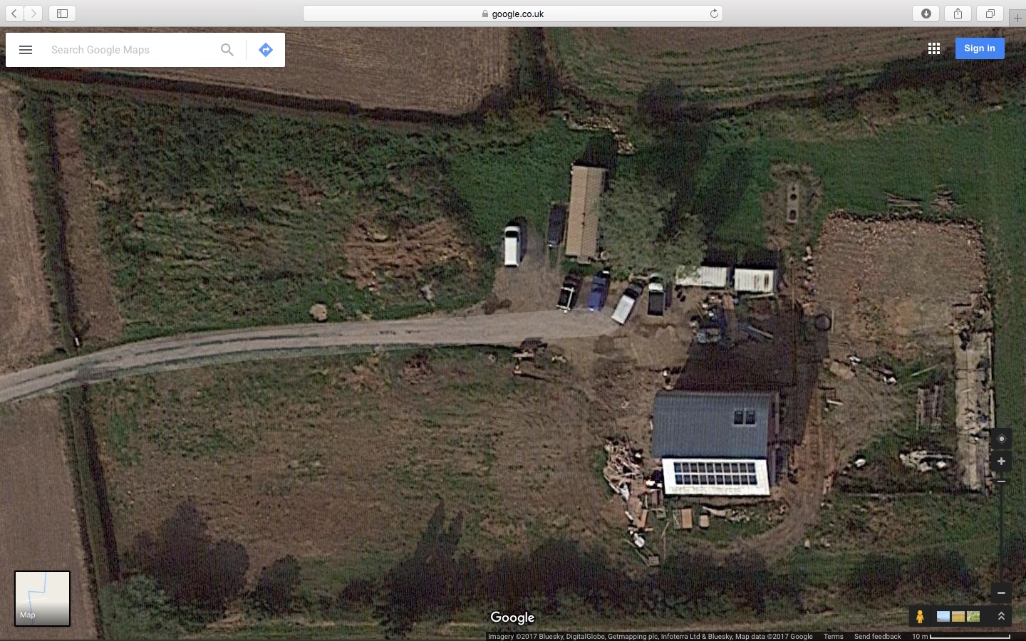
Google maps circa autumn 2016
I’ve also posted this image on the Page for The Plot which shows the previous aerial photos from Google and Bing.
![]() New Aerial Photo from Google Maps by Marsh Flatts Farm Self Build Diary is licensed under a Creative Commons Attribution-ShareAlike 4.0 International License.
New Aerial Photo from Google Maps by Marsh Flatts Farm Self Build Diary is licensed under a Creative Commons Attribution-ShareAlike 4.0 International License.