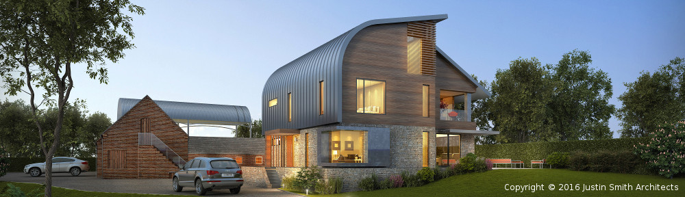
The geograph.org.uk website contains “geographically interesting” photographs submitted by the general public and indexed against the grid squares on the 1:50,000 Ordnance Survey maps. Some of these photos date back several years and it’s possible to see how places have changed over the years.
There’s a good photo of Marsh Flatts Farm taken on 13th May 2005, reproduced below:

Marsh Flatts Farm on geograph.org.uk
I’m inclined to submit a revised photo showing the site as it is now (and then perhaps another once the house is completed).
![]() geograph.org.uk photo from 2005 by Marsh Flatts Farm Self Build Diary is licensed under a Creative Commons Attribution-ShareAlike 4.0 International License.
geograph.org.uk photo from 2005 by Marsh Flatts Farm Self Build Diary is licensed under a Creative Commons Attribution-ShareAlike 4.0 International License.
Mission accomplished. I located the spot where the previous photograph was taken (handy that one of the power poles lines up *exactly* with a house on Snelsmoor Lane), took a few photos and uploaded the best one to the geograph website. See http://www.geograph.org.uk/photo/3832977