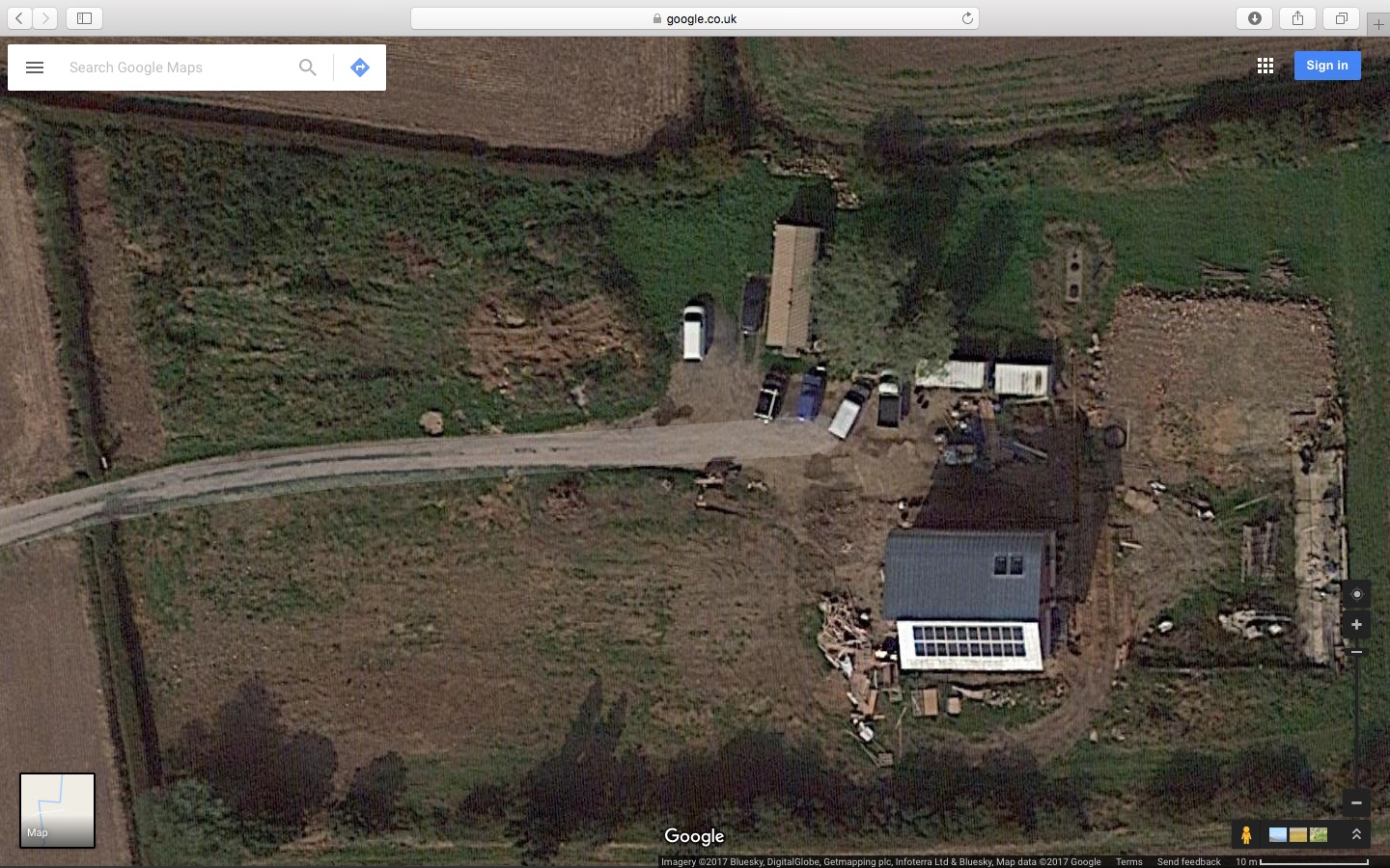
New Aerial Photo from Google Maps

Just spotted that Google Maps are showing a new aerial photo of the site, at least for MacOS X using the Safari browser, accessing from the UK. The direct link is http://maps.google.co.uk/maps?q=52.870244,-1.415455&num=1&t=h&gl=uk&z=18 (though it might look different for different systems / browsers so reproduced below)

Google maps circa autumn 2016

I’ve also posted this image on the Page for The Plot which shows the previous aerial photos from Google and Bing.

Daily Blog Updates On Hold

With the main build team off on another job for a few weeks I don’t really want to clog up the blog with lots of identical photos and “No work on site today” updates so I’m going to suspend the automated daily postings from now on.

I’ll do periodic postings when subcontractors are on site and I might resume the daily postings when the main build team returns; we’ll see.

(For the record, this would have been Week 73, Day 1)